


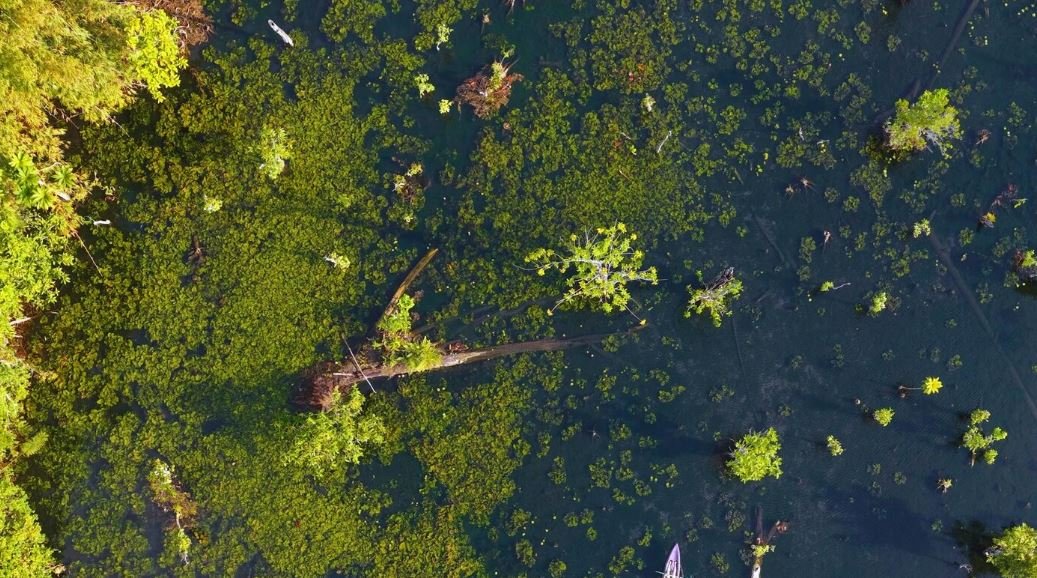
In late June, standing at the water’s edge of a marsh in Saskatchewan, the ground becomes shaky and the reeds thicken. A Western Grebe is perched on a nest somewhere in that tangle of emerging vegetation. You might pass it on foot without even realizing it was there. It glows slightly on a thermal screen when viewed from above with the appropriate camera and a steady drone; once you know what you’re looking for, it’s easy to spot as a warm signature against a cool background.
Despite its simplicity, that picture conveys a genuinely helpful insight into the future of wildlife monitoring. The accuracy of locating and counting colonial marshbird nests using drones with dual visible and thermal-infrared cameras is now on par with, and sometimes even better than, traditional ground surveys. This strategy was tested in Saskatchewan using eight colonies and five species.
For four of the five species examined, drone-based counts were within five percent of ground counts. That is a significant outcome. Due in large part to their thoroughness, ground surveys have long been regarded as the gold standard. However, they can only occur so frequently because they are physically taxing, time-consuming, and disruptive.
This place has something worthwhile to sit with. A group of field surveyors wading through reed beds in chest-deep water can disturb a nesting colony for much longer, potentially attracting predators, the researchers observed, whereas a drone can fly over a colony in minutes. When compared to before or after drone flights, there was no discernible increase in disturbance behavior, such as birds flushing off nests, according to the statistical analysis. The researchers were cautious to note that physiological reactions aren’t always apparent, but that doesn’t mean the birds are under no stress. Nevertheless, the trade-off is more honest than it might seem at first.
Thermal drones have begun scanning the bogs and upland wetlands where Eurasian curlews conceal their nests in deep grass in Wales, where the birds face the very real threat of going extinct as a breeding species by 2033. Since curlews are infamously elusive, it is nearly impossible to locate their nests without upsetting the birds to the point of danger. A drone with a thermal camera only needs to detect heat; it doesn’t need to know where to look.
It’s not just the technology that makes aerial drone photography so captivating in this situation. It combines the capabilities of thermal imaging and visible imagery. The color and detail required for species identification are provided by visible cameras. Thermal cameras detect heat signatures that indicate the presence of a nest even when the nest is hidden beneath a canopy of vegetation or the bird has momentarily disappeared. When combined, the two strategies make up for each other’s shortcomings in ways that neither could do on its own.
It’s important to remember that responsible operation is just as important in this situation as capability. Everything the technology promises can be undone by flying too low, too fast, or at the wrong time of day. Prior to solar noon, when the thermal contrast between nesting birds and the surrounding environment is at its greatest, researchers have typically conducted these surveys. Additionally, they have flown at altitudes calibrated to the species being surveyed: higher when covering large Franklin’s Gull colonies that span more than a square kilometer, and lower for small, inconspicuous nests like those of Black Terns. This is not a casual job. The quality of each flight is shaped by the preparation that goes into it.
Beneath all of this is a larger point. The birds that breed in wetlands are among the most difficult to regularly observe, and wetlands are among the planet’s most ecologically significant and endangered habitats. There are still issues with drone-based surveys, such as battery life, image mosaicking in open water, and the difficulty of automating nest detection in intricate vegetation. However, the direction of travel is evident. Scientists’ understanding of the health of wetland ecosystems is genuinely improving as technology advances, protocols are improved, and data is gathered.
It’s difficult not to feel that the view from 200 feet up captures something that the view from the ground could never quite match when standing at the edge of the marsh. The entire scene, not just the nest.
