


The Agusan Marsh doesn’t appear to have been dying recently. It has the settled quality of a landscape that has always been this way on a clear morning, with mist hovering low over the water and egrets working the shallows along the reed edges. It smells of mud and green things, is dense with life, and has the unique richness of water that flows slowly thru vegetation rather than over stone. The locals, however, recall a different picture: contaminated water, diminished fish populations, logging trucks passing thru places that ought to have been off-limits, and a general feeling that the marsh was being emptied more quickly than it could replenish.
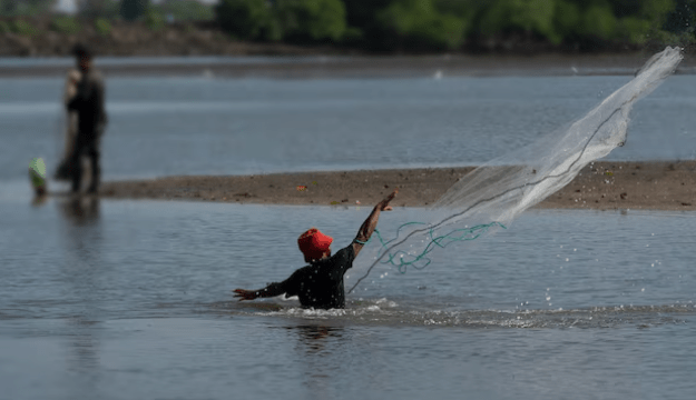
A sizable inland flood plain on the island of Mindanao is covered by the Agusan Marsh Wildlife Sanctuary in Agusan del Sur. It is one of the biggest freshwater wetlands in Southeast Asia, a labyrinth of peat swamps that sustains both the human populations that have farmed and fished its boundaries for generations and an exceptional concentration of indigenous fauna. As far back as oral history goes, the Manobo people have resided in and around the marsh. They have a profound and useful relationship with the terrain that can only be produced by long-term settlement; they have specific knowledge about plant cycles, fish movement, water levels, and signals of ecological stress.
This information served as the basis for the eventual formation of Bantay Danao, which loosely translates to “Lake Guardians.” The patrol groups, which were established locally and drew from indigenous households and fishing communities in several barangays, were not the product of an NGO or government program. They developed as a result of the individuals who were most directly impacted by the marsh’s collapse realizing that no one else could put an end to the harmful fishing methods and illegal logging that were destroying the ecosystem. They began doing it themselves as a result. Day and nite, patrols were conducted. Boats scoured the waterways in search of infractions. At community gatherings, decisions were made regarding the areas and duration of rest.
Arguably, the biggest detrimental impact on the marsh during its darkest time was illegal logging. The soil structure that makes a wetland function—roots hold peat in place, canopy controls evaporation and light penetration, and the entire system depends on a moisture balance that open ground upsets—is destabilized when trees are removed from the edges of peat swamps. The loss of trees allowed runoff from cities and farms to enter the water more easily, and the combination of nutrient loading and sedimentation started to alter the marsh’s capacity. There was a noticeable decline in fish populations that had supported local households for many generations.
Although more difficult to measure than patrol hours or fish harvest statistics, the Manobo’s contribution to the restoration effort is likely more significant. During the period of degradation, traditional traditions like as seasonal fishing restrictions, zone safeguards, and the cultural norms of taking only what is needed were simply superseded by external pressure and economic desperation rather than disappearing. With institutional support from inter-barangay agreements and NGO technical assistance, those traditions were reinstated as community norms, giving the restoration effort a social base that is rarely attained by external conservation efforts alone.

Today, the marsh retains carbon in the peat layers that damaged wetlands release into the atmosphere, filters water, and protects people downstream from floods. The number of birds has returned to what the elderly locals say is more like what they recall from decades ago. Families who had begun searching for alternative forms of income have returned to fishing as their main source of income because the fish stocks have sufficiently improved.
