


A bar-tailed godwit is making one of the longest noncontinuous flights in animal history somewhere over the Yellow Sea. It passes through customs, doesn’t have a passport, and doesn’t go through a quarantine checkpoint. But whatever it might be carrying is far more important than anyone following its GPS tag would want to discover.
The quiet, unsettling truth at the heart of an expanding corpus of research is that migratory birds connect ecosystems rather than merely crossing borders. Additionally, they connect disease reservoirs in ways that ground-based surveillance and static maps are unable to. For years, scientists and field veterinarians operating throughout the Pacific Rim and the African-Eurasian flyways have been piecing this together by combining satellite data with meticulous fieldwork to create a more accurate picture of the potential location and timing of the next agricultural outbreak.
Bird migration and avian influenza have long been linked. What is more recent and truly remarkable is the accuracy with which researchers can now model it. Based on approximately 40,000 lab-analyzed field records from Japan, Russia, Vietnam, Mongolia, and Alaska, research from the Pacific Rim has demonstrated that low-pathogenic avian influenza strains are not found in the wild at random.
They congregate. They adhere to landscape corridors. Prediction maps have identified hotspots in parts of Central Siberia and coastal Asia that are connected by what scientists refer to as “flyways”—the seasonal routes that ducks, swans, and gulls dependably travel thousands of kilometers each year. Muscovy ducks, Whistling Swans, and Mallards. The same birds that coexist with domestic chickens on the periphery of industrial farming areas.
The fact that the low-pathogenic strains don’t completely destroy flocks may be the reason they aren’t receiving enough attention. However, this has long been a source of concern for researchers. A fairly well-established theory holds that low-path AI serves as a resilient reservoir that eventually gives rise to highly pathogenic variants. One research paper stated quite bluntly that ignoring it is “arguably quite dangerous.”
On the other side of the world, a different but concurrent endeavor is changing the way that disease risk is represented prior to its manifestation. Using satellite inputs that most people wouldn’t immediately associate with disease forecasting, such as land surface temperature readings from the MODIS instrument, soil moisture data from global land assimilation systems, and precipitation patterns, NASA-affiliated researchers have been running outbreak prediction models for vector-borne diseases. In 2017, a team that modeled the risk of cholera in Yemen achieved 92% accuracy, even forecasting outbreaks in regions that had not previously been susceptible to the disease. Part of the data came from NASA sensors that are open to the public. It is difficult to overestimate the consequences for agriculture and the security of the food system.
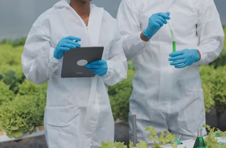
A slightly different viewpoint on all of this is held by field physicians and veterinarians who work in areas where outbreaks are common. One could argue that the satellite layer is helpful, even necessary, but the ground-truth component is still indispensable. Samples must still be gathered. It is still necessary to trap, swab, and release birds. Humans working in challenging conditions, frequently with insufficient resources, still fill the gap between a risk map glowing orange on a screen and a village losing its entire flock of chickens due to an uncontained outbreak. Even though the modeling has significantly improved, that gap hasn’t closed yet.
The lead time has been altered. Twenty years ago, it would have seemed impossible to accurately forecast a disease outbreak weeks in advance. Today, military health surveillance programs and international health organizations are already using systems like CHIKRisk, which was developed to track chikungunya risk globally on a monthly basis, to predict where conditions are becoming favorable for transmission. For agricultural disease contexts, the same framework is being modified. As this approach becomes more widespread across disciplines, there is a growing perception that the true question is not whether the models are effective but rather whether there is the institutional will to implement them in a timely manner.
After unusual rainfall, satellites can observe the water collecting in a paddock. They are able to identify patterns of vegetation stress that point to environmental disturbance. For example, Argentina’s SAOCOM satellite was built to measure soil moisture up to two meters below the surface, giving growers and possibly disease modelers attempting to comprehend vector breeding conditions a sort of underground weather map. Ten years ago, these tools would have seemed almost unrealistic.
Naturally, the birds are still in the air. The godwit will land on the coast of Alaska, take a quick nap, and probably never find out what data it contributed. However, somewhere in a lab, that GPS track is being superimposed on temperature anomalies and vegetation indices, gradually becoming a part of a prediction that could, if all goes according to plan, provide a field doctor or farmer with a few weeks’ notice. That’s all there is to an outbreak.
